
NORDPORT
City-edge footprint · 01
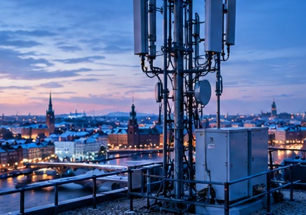
The city view connects infrastructure presence with real regional geography and physical placement.

NORDPORT operates a regional infrastructure footprint so customers can evaluate service reach, latency and capacity by location rather than as a single global average.
Regional planning determines where NORDPORT places edge capacity and which customer workloads can be served from each location.
Site placement considers network reach, facility availability, upstream connectivity and the expected demand for a region.
Capacity is tracked by region so growth can be identified before an individual site becomes a constraint for customer traffic.
Latency observations are regional because the same service can behave differently depending on the user, edge location and transit path.
A regional service depends on the local facility, network providers and edge equipment; those dependencies are part of the operational picture.
NORDPORT’s published company address is in Vilnius. This is the physical company reference point; it should not be read as a claim that every service or network node is located at this address.
Regional network references describe service reach and routing context. The company address is kept separate from those logical network locations so the site does not mix corporate, facility and service geography.
The city view connects infrastructure presence with real regional geography and physical placement.
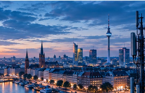
A rooftop connectivity view adds context for regional reach and the last-mile environment around network nodes.
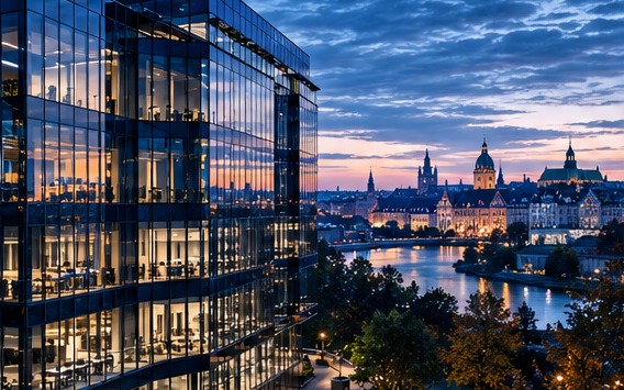
The office horizon connects the team’s physical base with the city where daily work is organised.

The contemporary workplace shows the environment where infrastructure decisions become operational work.
Our team is ready to help with infrastructure and integrations.